


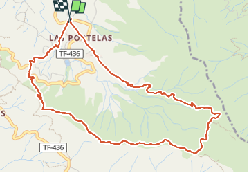

11.2 km | 21 km-effort

User


FREE GPS app for hiking
 SityTrail
IGN / Geographical institutes
SityTrail World
The world is yours!
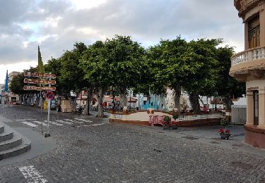
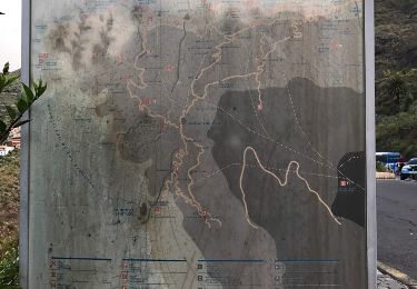
Trail Walking of 8 km to be discovered at Canary Islands, Santa Cruz de Tenerife, Buenavista del Norte. This trail is proposed by cobut.jp@gmail.com.
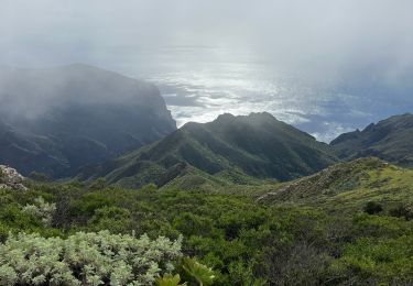
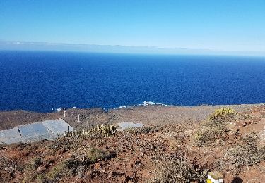
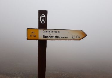
Départ Las Portelas PRTF59 jusque là direction Masca prendre le PR TF51 Cumbre de Bolico ., vue magnifique sur le dessus de Masca retour par PR Tf56 las Portelas


Walking
Walking
On foot

On foot
Walking
Walking
Walking
Walking
Walking